
Living in Coastal Virginia and the surrounding areas comes with the risk of being affected by a hurricane or tropical storm. Virginia Emergency Management officials have created a new tool to help coastal residents assess the risks of rising water in a storm surge.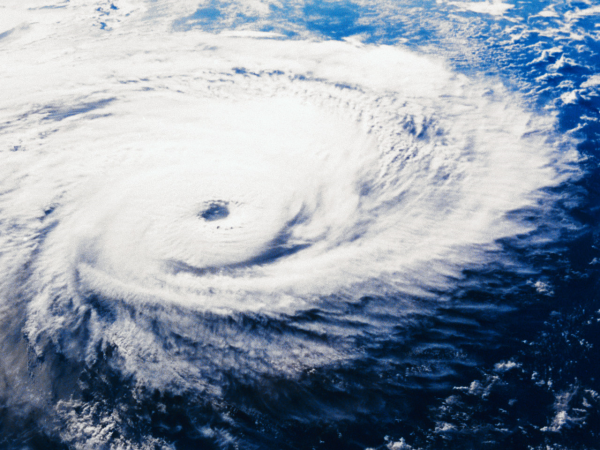-resized-600.jpg?width=273&height=205&name=mp900414115_(1)-resized-600.jpg)
“Storm surge” is an abnormal and potentially dangerous rise of water pushed to the shore by strong winds from a hurricane or tropical storm. It is also the main reason that evacuations are ordered.
The Geographic Information System map provides users with the maximum storm surge risk at their current location or elsewhere. The storm surge zones of this map indicate the maximum area that may be affected by a hurricane of a given value.
As each hurricane or tropical storm is different and forecast impacts may not reflect the modeled storm surge on this map, The Virginia Department of Emergency Management stresses that it is important for citizens listen to local emergency officials for evacuation instructions.
